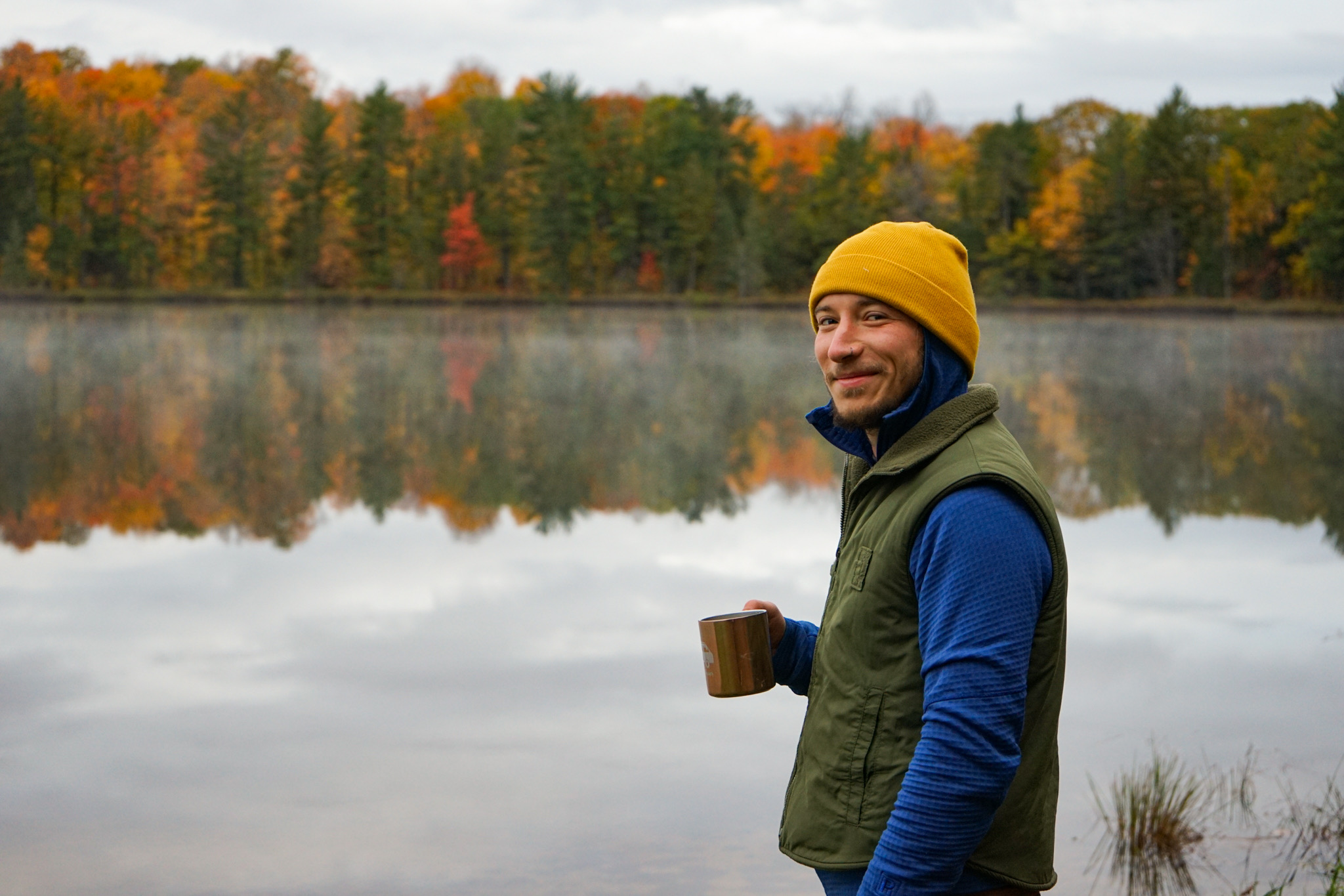
I am a spatial ecologist, data coder, and field technician.
As a seasonal National Park Service employee, I spend half my year on Isle Royale collecting data, handling wildlife, operating boats, paddling, hiking… and I spend the other half doing freelance GIS and data management work, working on as many mini-projects I can juggle, and exploring the country’s natural spaces.
My studies in college provided a strong foundation in earth science, biology, chemistry, and conservation. I continue to build off of this by learning new skillsets through independent research. I taught myself the R coding language and contributed to many projects, as well as developing a batch-processing script for The Nature Conservancy to analyze ecosystem distribution for any area-of-interest across the United States.
My current pursuits are learning Python in the ArcGIS setting, SQL for database management, and remote sensing processes for analyzing LiDAR and aerial imagery.