Projects
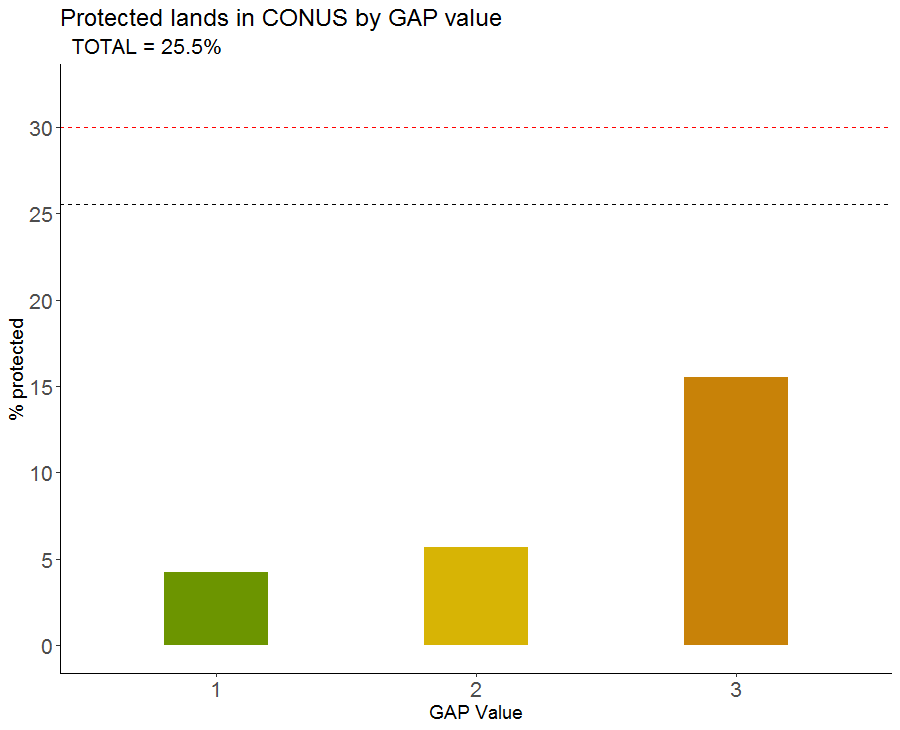
Representation revisited: a detailed assessment of ecosystem representation in the protected areas of the United States
Layering shapefiles and rasters, extracting data from rasters, joining data frames, creating webmaps
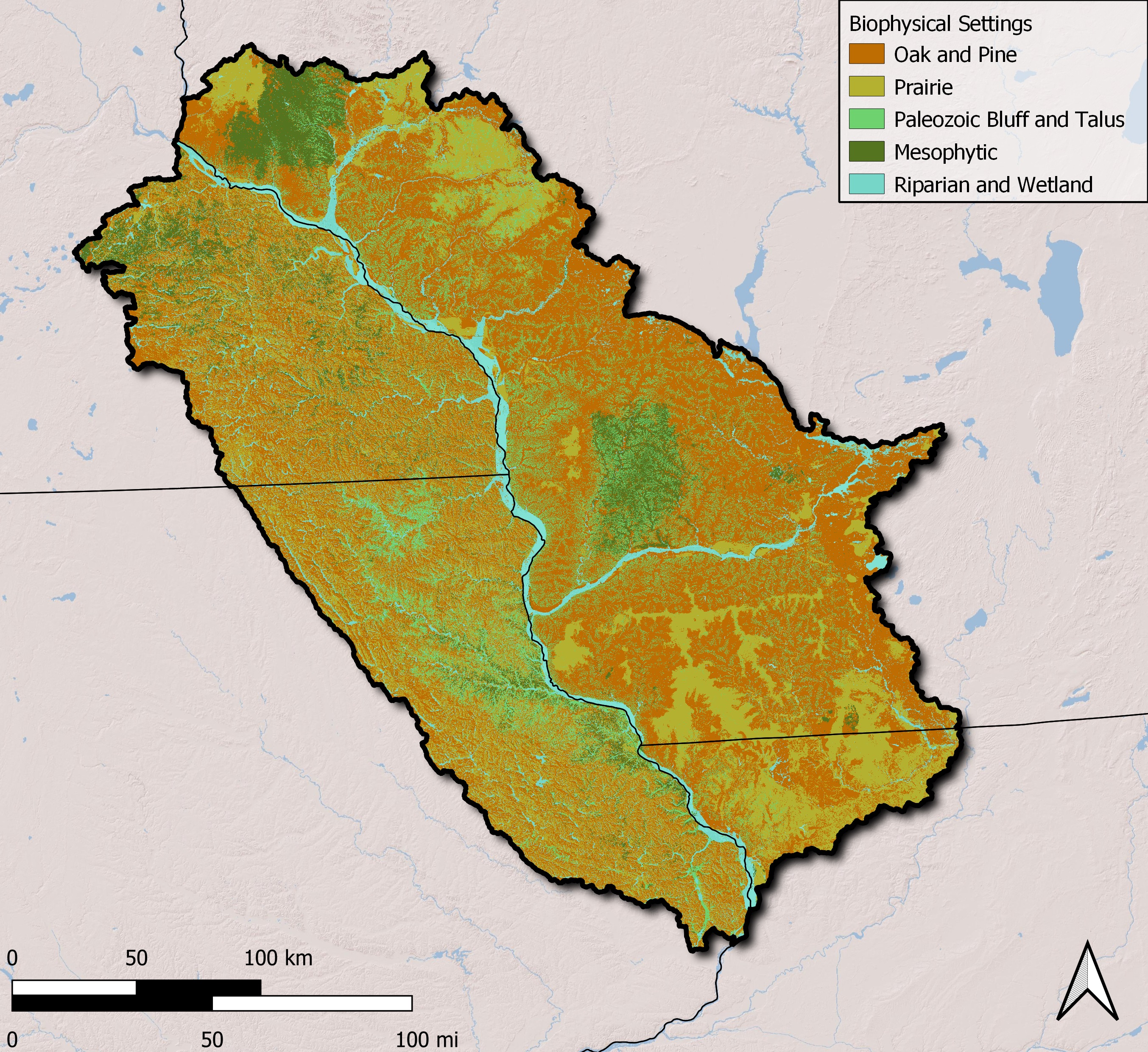
Rapid assessment of the Driftless Region
To familiarize one with QGIS and LANDFIRE
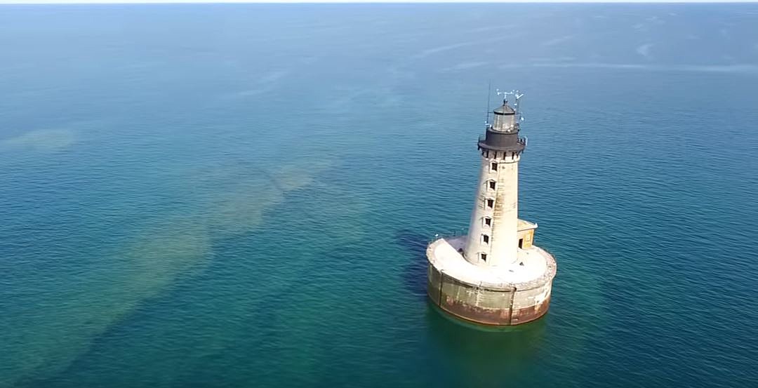
Analyzing trends in solar radiation over the Laurentian Great Lakes
Learning how to wrangle, process, and visualize data frames